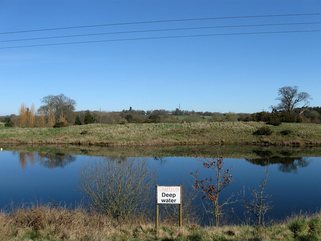
TQ4617 : Reservoir, East Sussex National Golf Course
taken 13 years ago, near to Little Horsted, East Sussex, England
Little Horsted is a small Wealden parish bounded by Uckfield to the north, Isfield to the west, Framfield to the east and Ringmer to the south, its shape vaguely resembling a shoulder of mutton. The name has the same origins as Horsted Keynes to the north, meaning a places where horses were kept and gained its appellation of 'Little' to distinguish it from the larger village to the north. It has also on occasions been known to as Horsted Parva. The parish seems to always have been sparsely populated with no real centre of settlement, the church lies towards the centre of the parish but only has one or two cottages plus the 19th century Horsted Place in the vicinity. There are a few houses and farms near Horsted Green to the north but the parish in general seems to have been a number of individual farms relatively distant from each other. The original manor may have been Horsted Farm which became Horsted Place in the 1850s. To the south is Plashett Park which straddles the Little Horsted and Ringmer parish boundaries and was once a former deer park owned by the Archbishops of Canterbury.
The current A26 is the main road through the parish and was joined by the A22 Uckfield bypass through the northern end during the 1980s. The only other routes available for vehicular access are Bradfords Lane which links the two main roads, Horsted Pond Lane and Worth Lane two minor dead end lanes. The few other old bridleways and footpaths attest to the sparse population within the parish.
 Map © Crown Copyright")
- Grid Square
- TQ4617, 77 images (more nearby 🔍)
- Photographer
- Simon Carey (more nearby)
- Date Taken
- Saturday, 19 March, 2011 (more nearby)
- Submitted
- Saturday, 26 March, 2011
- Subject Location
-
OSGB36:
 TQ 467 171 [100m precision]
WGS84: 50:56.1026N 0:5.2265E - Camera Location
-
OSGB36: TQ 467 171
- View Direction
- North-northeast (about 22 degrees)