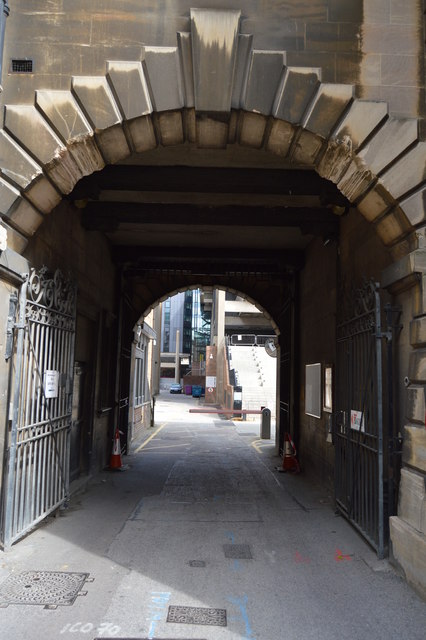
TL4458 : New Museums Site
taken 8 years ago, near to Cambridge, Cambridgeshire, England

The New Museums Site is a major site of the University of Cambridge, located in the centre of the city, on Pembroke Street and Free School Lane, sandwiched between Corpus Christi College, Pembroke College and Lion Yard. The smaller and older of two university city-centre science sites (the other is the Downing Site), the New Museums Site houses many of the university's science departments, lecture halls and examination rooms, as well as two museums.
Formerly the site of the university Botanic Garden (which is now between Hills Road and Trumpington Road in the south of the city), the New Museums Site is an eclectic mixture of grand Victorian buildings erected between 1870 and 1909, such as the Old Cavendish Laboratory; yellow-brick buildings from the 193040s, largely utilitarian with the exception of the Mond Building; and modernist glass-and-concrete buildings dating from the 1970s, such as the Materials Science and Metallurgy tower.
Pembroke Street is a street in Cambridge. It runs between Downing Street and Tennis Court Road at the eastern end and a junction with Trumpington Street at the western end. It continues west on the other side of Trumpington Street as Mill Lane.
To the south of the street, along its entire length, is Pembroke College, hence the name.
To the north at the eastern end is the New Museums Site of the University of Cambridge. The Cambridge University Department of Chemical Engineering is located here.
