2023
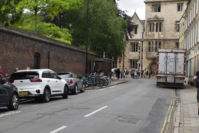
TL4458 : Jesus Lane
taken 1 year ago, near to Cambridge, Cambridgeshire, England
This is 1 of 19 images, with title Jesus Lane in this square

Jesus Lane
Jesus Lane is a street in central Cambridge. The street links with the junction of Bridge Street and Sidney Street to the west. To the east is a roundabout known as Four Lamps which links with Maids' Causeway, Short Street and Victoria Avenue.
Jesus Lane is an ancient route that gave access to the Nunnery of St Mary and St Radegund, on which Jesus College, Cambridge is founded. Jesus College is located on the north side of the street, and gives the street its name. Sidney Sussex College is to the south of Jesus Lane on the western end, fronting onto Sidney Street. The Pitt Club, a University of Cambridge club, has premises at 7a Jesus Lane. The neoclassical building was originally designed as Victorian Roman Baths in 1863 by Sir Matthew Digby Wyatt. The baths were short-lived, open only between February and December 1863.
See other images of Jesus Lane
