Bué
Appearance
Bué | |
|---|---|
 The cirque of the village of Bué | |
| Coordinates: 47°18′37″N 2°47′38″E / 47.3103°N 2.7939°E | |
| Country | France |
| Region | Centre-Val de Loire |
| Department | Cher |
| Arrondissement | Bourges |
| Canton | Sancerre |
| Intercommunality | CC Pays Fort Sancerrois Val de Loire |
| Government | |
| • Mayor (2020–2026) | Christian Thirot |
| Area 1 | 6.3 km2 (2.4 sq mi) |
| Population (Jan. 2019)[1] | 318 |
| • Density | 50/km2 (130/sq mi) |
| Time zone | UTC+01:00 (CET) |
| • Summer (DST) | UTC+02:00 (CEST) |
| INSEE/Postal code | 18039 /18300 |
| Elevation | 197–370 m (646–1,214 ft) (avg. 202 m or 663 ft) |
| 1 French Land Register data, which excludes lakes, ponds, glaciers > 1 km2 (0.386 sq mi or 247 acres) and river estuaries. | |
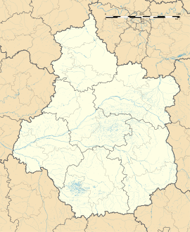
Bué is a commune in the Cher department, located in the Centre-Val de Loire region, France. About 318 people lived there in January 2019.
Population
[change | change source]| Year | Pop. | ±% |
|---|---|---|
| 1962 | 394 | — |
| 1968 | 412 | +4.6% |
| 1975 | 386 | −6.3% |
| 1982 | 362 | −6.2% |
| 1990 | 351 | −3.0% |
| 1999 | 340 | −3.1% |
| 2008 | 348 | +2.4% |
References
[change | change source]- ↑ "Populations légales 2019". The National Institute of Statistics and Economic Studies. 29 December 2021.
Wikimedia Commons has media related to Bué.
Wikivoyage has a travel guide about: Bué


