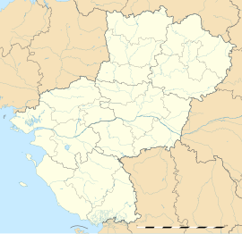
Laval (Mayenne)
Appearance
Laval | |
|---|---|
Prefecture and commune | |
 The castle overlooking the town and the river Mayenne. | |
| Coordinates: 48°04′24″N 0°46′08″W / 48.0733°N 0.7689°W | |
| Country | France |
| Region | Pays de la Loire |
| Department | Mayenne |
| Arrondissement | Laval |
| Canton | 3 cantons |
| Intercommunality | CA Laval |
| Government | |
| • Mayor (2012–2014) | François Zocchetto (UDI) |
| Area 1 | 34.2 km2 (13.2 sq mi) |
| • Urban | 115.7 km2 (44.7 sq mi) |
| • Metro | 771.09 km2 (297.72 sq mi) |
| Population (2009) | 51,182 |
| • Rank | 119th in France |
| • Density | 1,500/km2 (3,900/sq mi) |
| • Urban (2009) | 67,671 |
| • Urban density | 580/km2 (1,500/sq mi) |
| • Metro (2009) | 119,475 |
| • Metro density | 150/km2 (400/sq mi) |
| Time zone | UTC+01:00 (CET) |
| • Summer (DST) | UTC+02:00 (CEST) |
| INSEE/Postal code | 53130 /53000 |
| Elevation | 42–122 m (138–400 ft) |
| 1 French Land Register data, which excludes lakes, ponds, glaciers > 1 km2 (0.386 sq mi or 247 acres) and river estuaries. | |
Laval is a commune and the prefecture of the French department of Mayenne. The people that live there are called Lavallois.
History
[change | change source]Laval is a medieval city and was first mentioned during the 11th century.
Education
[change | change source]Sister cities
[change | change source]Laval is twinned with:
 Boston, United Kingdom, since 1958
 Modesto, USA
 Chalkidiki, Greece.
 Gandia, Spain, since 1978
 Garango, Burkina Faso
 Laval, Canada
 Mettmann, Germany, since 1974
 Vătava, Romania, since 1990
Wikimedia Commons has media related to Laval (Mayenne).


